ÖRNEK
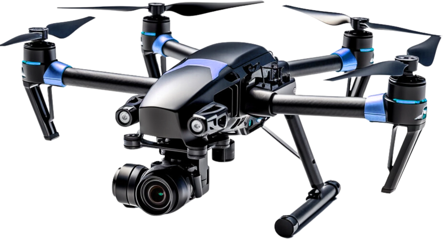
Next-Gen High-Performance Drone
4K Stabilized Camera
Capture sharp photos and smooth video with 3-axis stabilization.
Brushless Motors
Quiet, powerful motors for strong lift and enhanced durability.
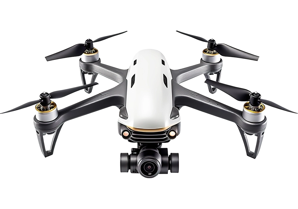
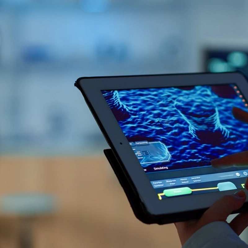
4K Stabilized Camera
4K resolution with 3-axis gimbal for smooth video.Brushless Motors
Efficient, quiet motors for powerful, reliable flight.Carbon Fiber Frame
Lightweight, strong carbon fiber for stability.GPS Assisted Navigation
HiPrecise GPS for stable hovering and auto return.Carbon Fiber Frame
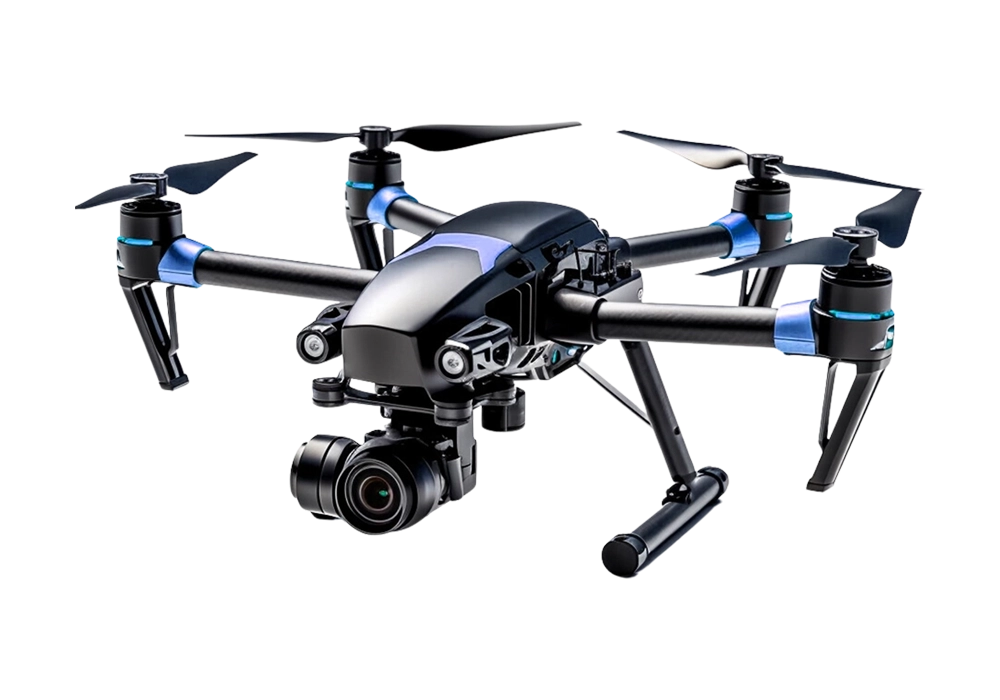
Lightweight and strong carbon fiber arms for stability and durability.
GPS Assisted Navigation
Stable hovering and auto return-to-home with precise GPS positioning.
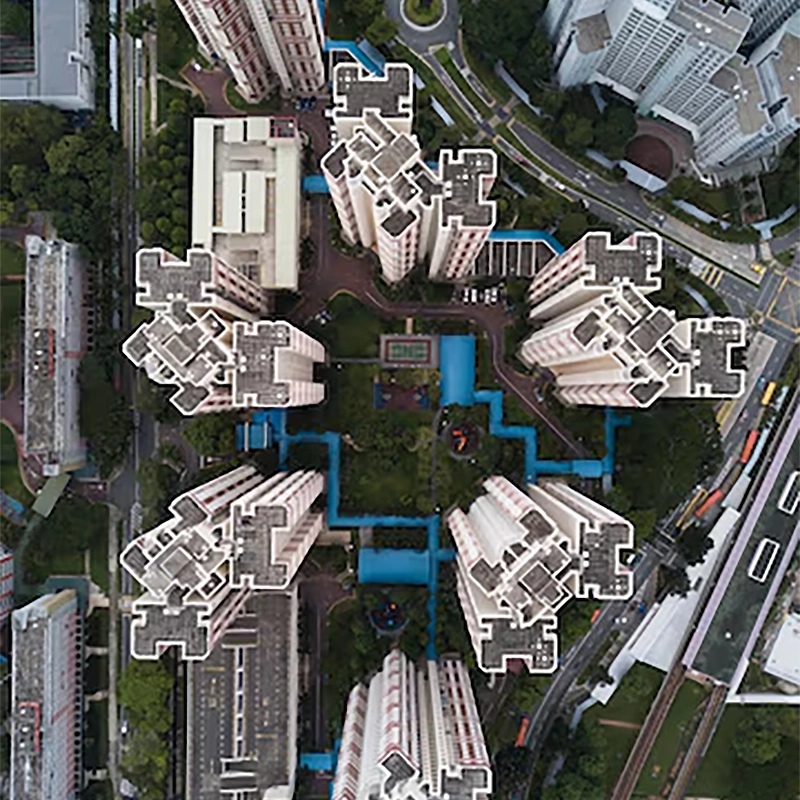
Our Aerial Equipments
SkyVision X4
Equipped with a 1-inch CMOS camera capturing 5.4K video, 40-minute flight time, and intelligent obstacle sensing designed for professional aerial photography and cinematic footage.
AeroScout V2
Advanced dual-lens drone with 4K HDR recording, precision GPS navigation, 45-minute maximum flight time, and smart tracking ideal for mapping and surveying missions.
FalconEye Pro
High-performance aerial drone featuring stabilized 6K camera, real-time transmission, 38-minute flight endurance, and intelligent flight modes for inspection and monitoring tasks.


Precision Aerial Solutions Driven by Innovation
We deliver reliable aerial data and cinematic visuals through advanced drone technology, skilled pilots, and strict safety standards to support planning, inspection, monitoring, and digital documentation.
- High Precision Mapping Equipment
- Certified and Experienced Drone Pilots
- Flexible Project Based Solutions
Innovative and Efficient Drone Services
01
Aerial Photo & Video
Aerial and video services deliver stunning drone footage for mapping, inspection, marketing, events, real estate, surveys storytelling worldwide.
02

Mapping & Surveying
Mapping and surveying services deliver aerial data for terrain analysis, land planning, construction tracking, boundary checks, and reports plus.
03
Inspections & Monitoring
Inspection and monitoring services deliver real time drone data for asset checks, audits, infrastructure health tracking, and compliance reports.